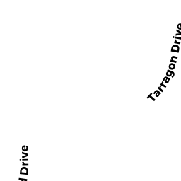
23 TARRAGON DRIVE
Owner Information
BOURQUE, DAVID & LINDA
23 TARRAGON DRIVE
EAST SANDWICH, MA 02537-1737


Property Details
23 TARRAGON DRIVE is classified as a Single Family Residential (Colonial).
The primary structure on this property was built in 1986. There are 3,892ft2 of built area within this property. There is 3,892ft2 of residential/living space within this property. This property is listed as having 11 rooms.
23 TARRAGON DRIVE is valued at $772,800. The land is valued at $157,400 and the structures are valued at $568,400. There is an additional valuation of $47,000 on this property.
This property is in Zone RDG. Confirm with local Zoning Board authorities to ensure there are no overlays or other easements on this property.
The most recent deed for 23 TARRAGON DRIVE is recorded at the local registrar in Book LAND, Page COURT. 23 TARRAGON DRIVE was last sold on Monday, May 6, 1985 for $0.
Assessment data from fiscal year 2022.
Flood Data
According to the FEMA National Flood Hazard Layer, this property does not appear to be in a flood zone. It may also be in an area not yet reviewed. Nonetheless, confirm this information prior to taking any action.
To view the flood hazards around this property, create a FEMA "Firmette" Map of the area around 23 TARRAGON DRIVE.
Broadband Internet Providers
| Provider | Type | Bandwidth (mbps) | |
|---|---|---|---|
| VSAT Systems, LLC. | Satellite | 2 | 1 |
| HughesNet | Satellite | 25 | 3 |
| GCI Communication Corp. | Satellite | 0 | 0 |
| Viasat Inc | Satellite | 35 | 3 |
| Comcast | Cable | 1000 | 35 |
| T-Mobile | Fixed Wireless | 25 | 3 |
Broadband service provider data from December 2020.
Adjacent Properties
- 25 TARRAGON DRIVE
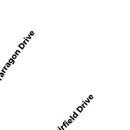
Single Family Residential owned by BECKMANN, JERRY & JULIETTE A - 11 FAIRFIELD DRIVE
Single Family Residential owned by PAUGH, RICHARD M & CHRISTINE E - 15 FAIRFIELD DRIVE
Single Family Residential owned by LEWIS, DAVID M & KATHLEEN B - 21 TARRAGON DRIVE
Single Family Residential owned by SHUMAN, ROBERT S